
Welcome
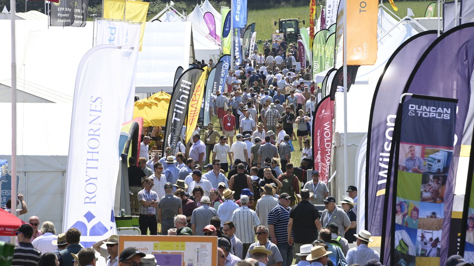
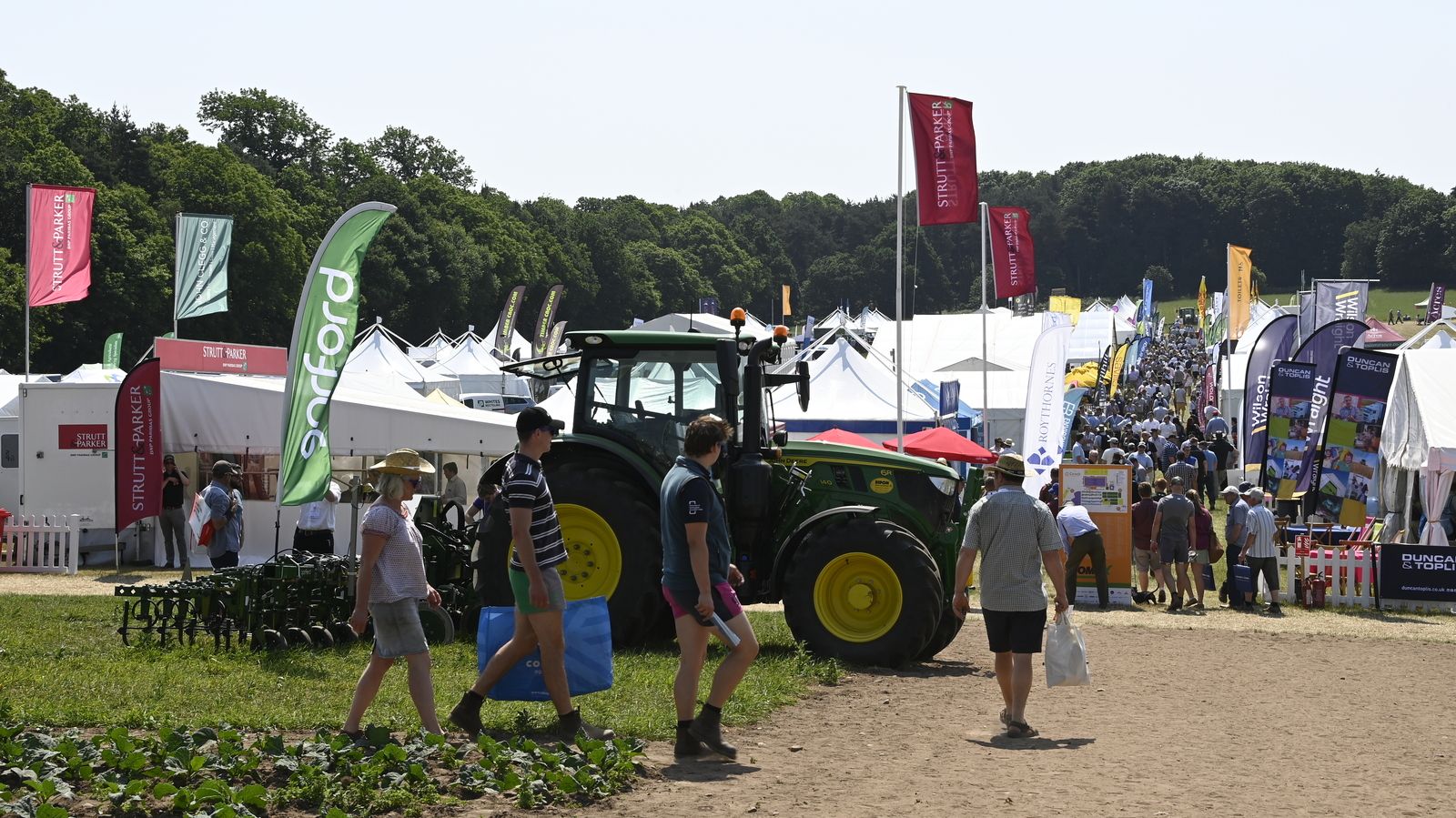
Connect with 450 arable service & product providers
)
)
)
)
)
)

)
)
)
)
)
)
)
)
)
)
)
)
)
![]()
![]()
Event Announcement: New for 2024!
Direct Driller Magazine & Cereals will cohost a new event for farmers and agronomists in summer of 2024. Taking place adjacent to the main Cereals event on 11-12 June 2024, DirectDriller@Cereals will tackle how regenerative farming can help make large scale arable farms more commercially successful. Themed Regenerating farm profit, DirectDriller@Cereals will include a full conference programme around SFI & Countryside Stewardship, bringing in hands-on, how-to advice on elements of regenerative farming that can work on larger farms. This hands-on programme and schedule of cover crop and machinery demonstrations will be created and presented by the editorial team at Direct Driller and in partnership with BASE UK.
Tickets are on sale now! Click here to learn more about how to get involved.
)
)
)


)
)
)
)
)
)
)
)
)
)
)
)
)
)
)
)
)
)
)
)
)
)
)
)
)
)
)
)
)
)
)
)
)
)
)
)
)
)
)
)
)
)
)
)
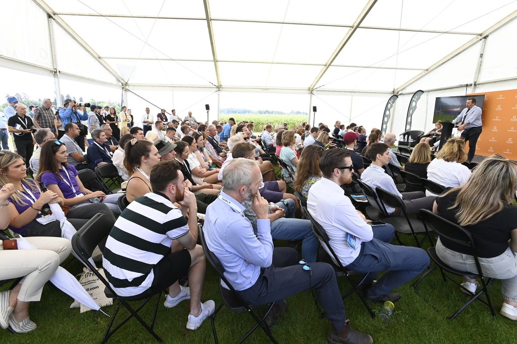
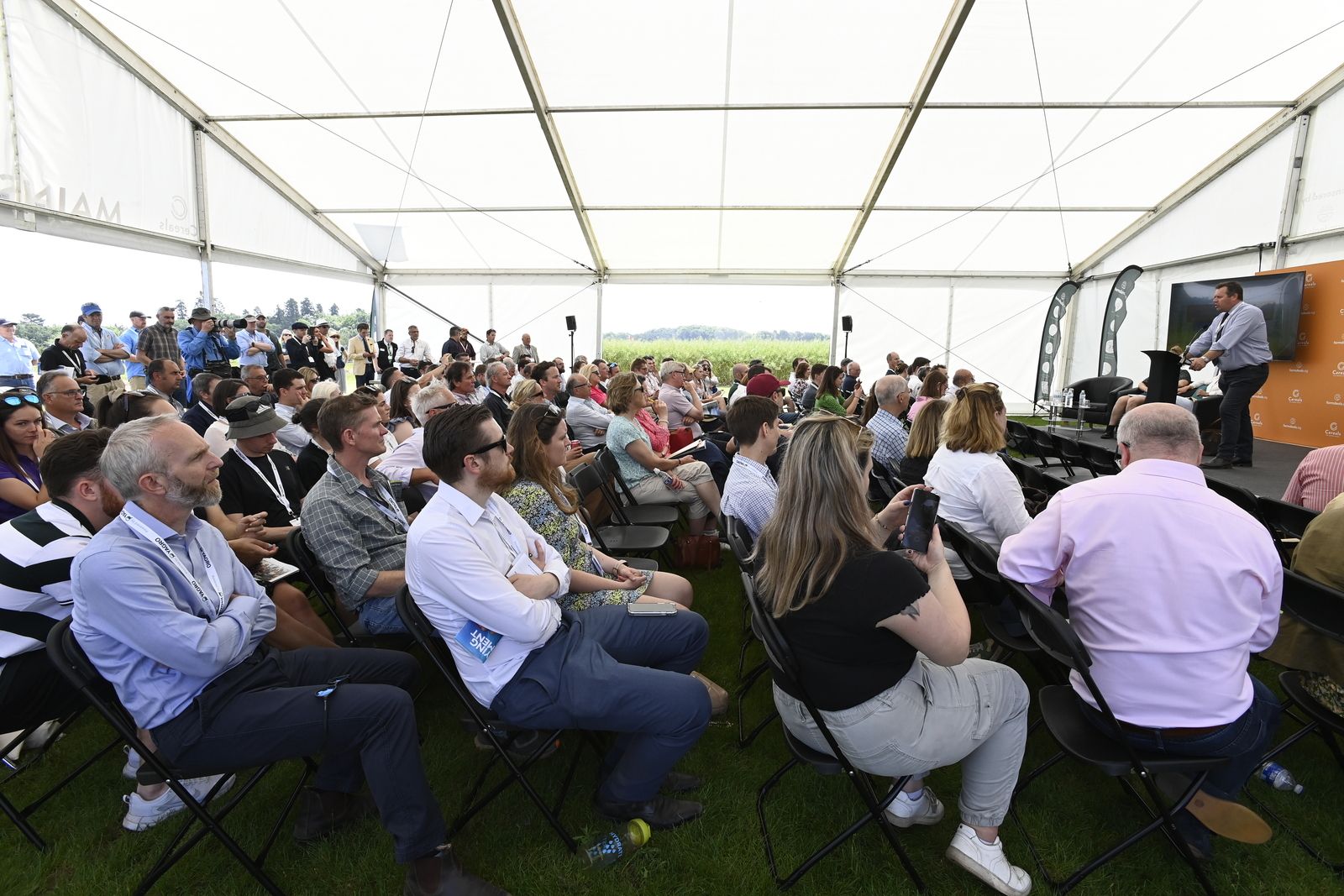
Join the Knowledge Exchange Seminars
Cereals 2024 will host seminar programmes with technical know-how and industry intelligence provided by leading industry experts.
- Cereals Mainstage sponsored by KWS will be themed Seed to Shelf and will cover the full arable supply chain as presented by leading industry associations
- DirectDriller@Cereals: Regenerating Farm Profit will tackle how regenerative farming can help make large scale arable farms more commercially successful
- Plus exhibitor led sessions where leading companies share the latest technological product announcements and service updates
.jpg)
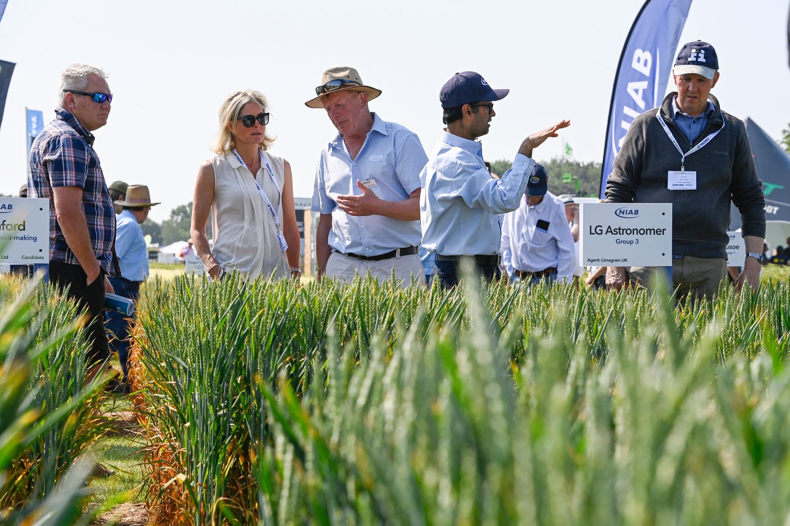
Visit the Expanded Agronomy Zone
In addition to an expanded number of exhibitor plots with many additional varieties on display, Cereals curated a wide spread of popular winter wheats on the RL with varieties representing all winter wheat groups 1-4. Expanded to include a larger variety of winter barleys, the feature represents malting; two-row feed and six-row hybrid varieties. While many of these varieties are on display elsewhere in the show, this gives growers the opportunity to walk amongst these in one place for side-by-side comparison.
Thank you to Ceres Rural agronomists who provide help and advice throughout both days in the Winter Wheat & Barley Feature.
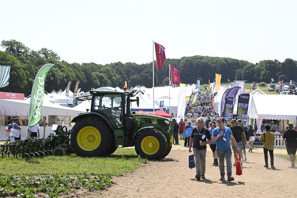
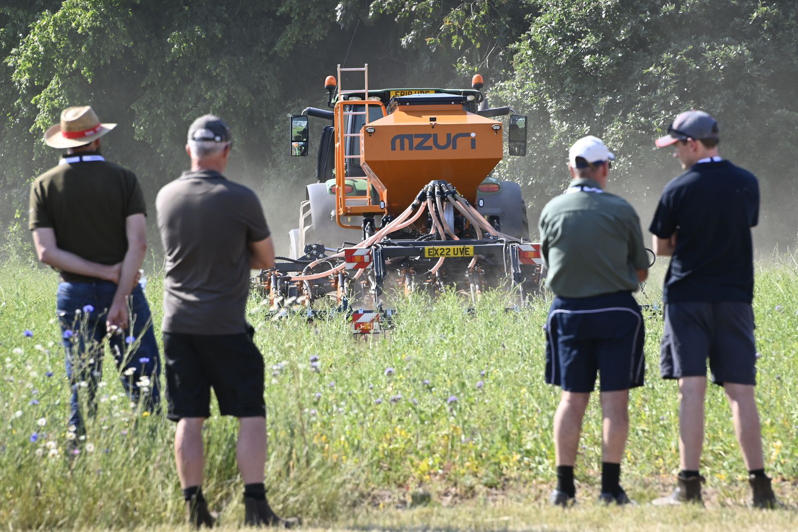
Participate in Working Demos
Cereals 2024 will include a full programme of over 200 machinery demonstrations - some that allow you to get behind the wheel - including
- Syngenta Sprays & Sprayers Arena
- DirectDriller@Cereals Drill Arena
- Build a Drill
- Agriweld, Case IH, Maschio Gaspardo, Hardi, Merlo, New Holland & SDF working demo plots
- Robotics & automation demonstrations presented by Agxeed & Autonomous Agri Solutions
- Isuzu Offroad Driving Experience
- Drone demonstrations
A look back to Cereals 2023 at Thoresby Estate
)
)
.jpg/fit-in/500x500/filters:no_upscale())
)
)
)
)
)
)
)
)
)
)
)
)
)
)
)
)
)
)
)
)
)
)
)
)
)
)
)
)
.jpg/fit-in/500x500/filters:no_upscale())
)
)
)
)
)
)
)
)
)